 1 / 2
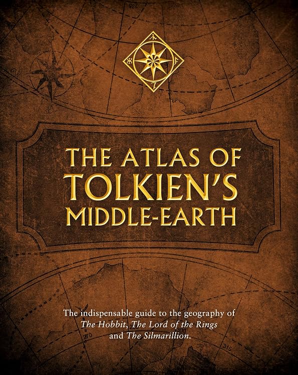
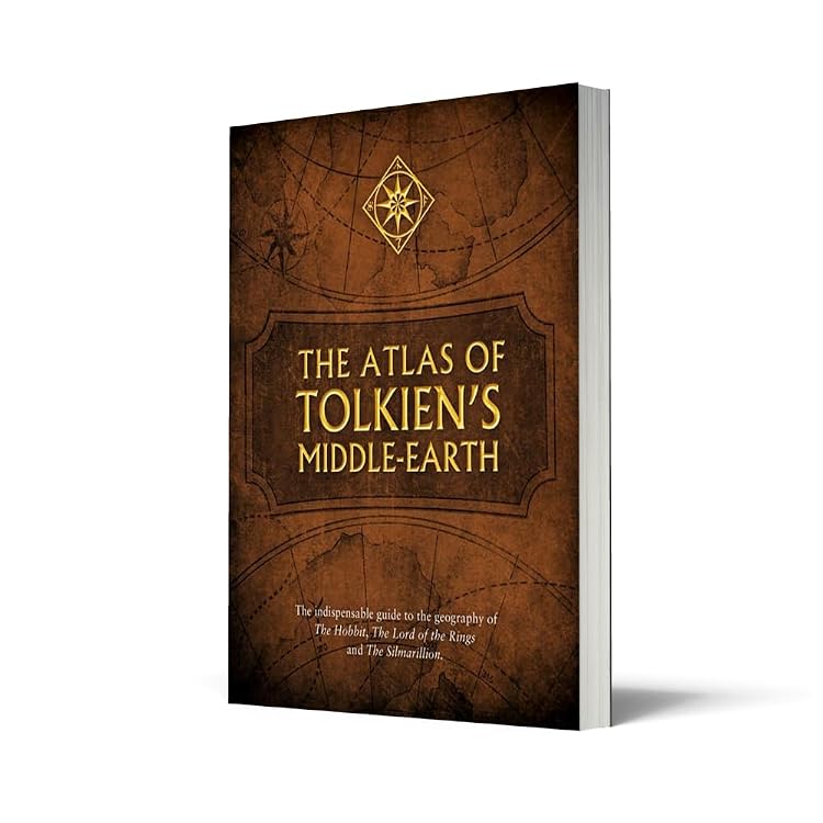
The Atlas of Tolkien’s Middle-earth — illustrated geography guide
The Atlas of Tolkien’s Middle-earth is a geography guide to the world of The Lord of the Rings and other Middle-earth stories. Its maps and diagrams cover character journeys, battles and locations across the First, Second and Third Ages, with material on climate, vegetation, languages and population.
At a glance
- Covers Middle-earth from the Elder Days through the Third Age, including journeys from The Hobbit and The Lord of the Rings.
- Maps and diagrams depict character journeys, battles and important locations.
- Thematic maps address climate, vegetation, languages and population. It also includes plans and descriptions of buildings and landforms.
Reference price: £20.00
Price checked: 12 Nov 2026
View offerAhead of Black FridayExplore the selectionOften bought together
Pros and cons
Pros
- Wide geographical scope links locations and journeys across several ages of Middle-earth.
- The combination of maps, diagrams and explanatory material offers more context than a map-only reference.
Technical specifications
9 specifications| Publisher | HarperCollins |
|---|---|
| Publication date | 15 Jun. 2017 |
| Edition | 1st |
| Language | English |
| Print length | 224 pages |
| ISBN-10 | 0008194513 |
| ISBN-13 | 978-0008194512 |
| Dimensions | 22 x 1.6 x 28 cm |
|---|---|
| Weight listed | 1.05 kg |
What to know before buying
- The publisher describes hundreds of maps and diagrams, but the supplied details do not specify how many are maps versus diagrams or how much space each topic receives.
Who is it for?
A good fit for
- Tolkien readers who want a visual reference for places, journeys and battles across Middle-earth.
- Readers looking for maps alongside geographical and historical context.
Less suited to
- Readers seeking a narrative Tolkien novel rather than a reference atlas.
- Buyers who need a guide to only one specific journey or region.
Customer reviews on Amazon
- 5 stars
80% 80% - 4 stars
15% 15% - 3 stars
4% 4% - 2 stars
1% 1% - 1 star
0% 0%
Customer feedback describes the atlas as informative, detailed and useful for understanding Middle-earth’s geography, highlighting explanatory notes, illustrations and coverage of key places and journeys. This aligns with the listing’s focus on maps and diagrams, though some customers felt the contents did not meet their expectations. The rating distribution is largely five-star, but ratings alone do not establish which features account for that response.
Positive themes
- Customers praise the informative content, maps, illustrations and geographical coverage.
Mixed feedback
- Some customers felt the book did not meet their expectations.
Frequently asked questions
What does the atlas cover?
The listing describes coverage from the Elder Days to the Third Age, including journeys, battles and key locations connected with The Hobbit, The Lord of the Rings and The Silmarillion.
What kinds of maps and diagrams are included?
The listing describes journey maps and diagrams, thematic maps on climate, vegetation, languages and population, plus plans and descriptions of buildings and landforms.
How long is this edition?
The listed print length is 224 pages. The language is English.
Alternative options
Wind: 1st Element of the Mythus Ascendum
£8.82
Hungry Gods: Superhero Action and Adventure (Identity Crisis Universe Superhero Series Book 1)
£3.99
Black Doe
£16.99
Japanese Mythology Unleashed: Discover Shinto Deities, Yōkai, and Historic Heroes on a Journey Through Ancient Japan
£13.99
History of the World Map by Map: An Illustrated Guide Through World History (DK History Map by Map)
£21.15
The Woman in the Wires: 1 (The Listener Series)
£12.63
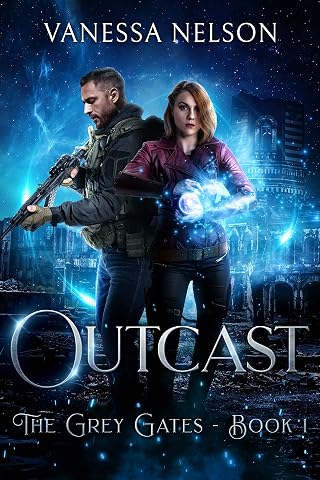
Outcast: The Grey Gates - Book 1
£4.99
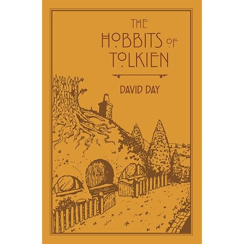
The Hobbits of Tolkien: An Illustrated Exploration of Tolkien's Hobbits, and the Sources that Inspired his Work from Myth, Literature and History
£13.19
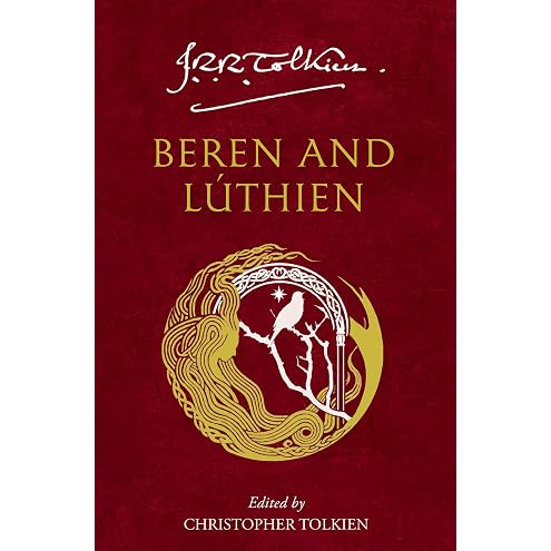
Beren and Lúthien: An Unforgettable Middle-earth Legend of Love and War
£9.25
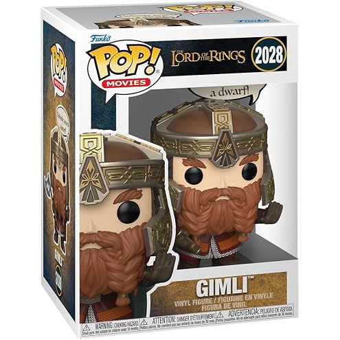
POP Funko Sayings: Lord of the Rings - Gimli | Official Merch - Collectable Vinyl Figurine for Shelf Display - Birthday Gift Idea for Fans and Collectors
£13.00
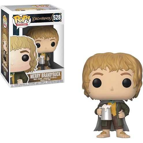
Funko 13563 POP! Vinyl LOTR/Hobbit Merry Brandybuck
£18.51