 1 / 7
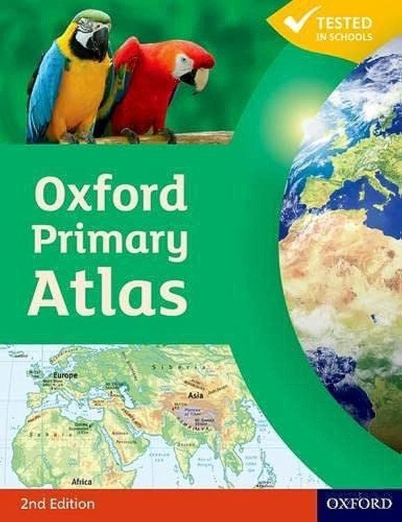
Oxford Primary Atlas, 2nd edition
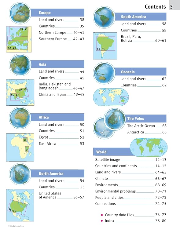
Oxford Primary Atlas is a Key Stage 2 geography atlas designed for children aged 7–11, with colourful maps and curriculum themes. Its index grid codes and enquiry panels are intended to support independent or group map work.
At a glance
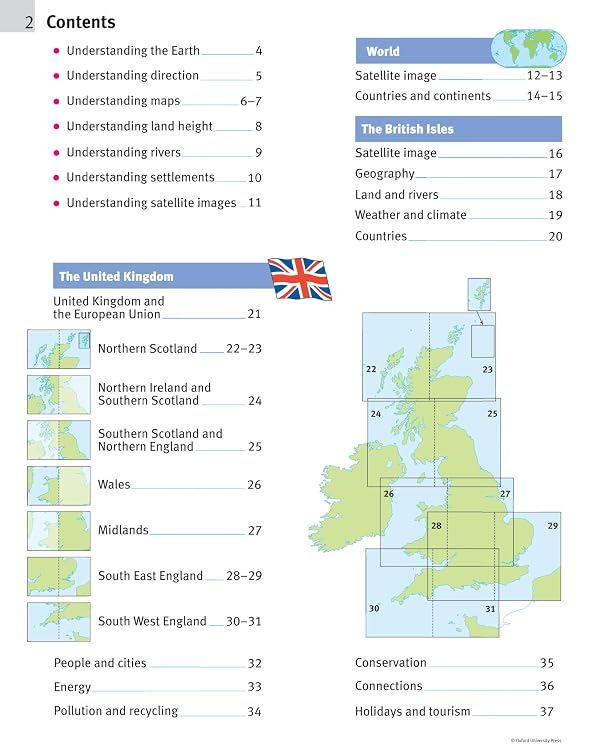
- Covers curriculum themes including landscapes, water, settlements, connections and environments.
- Learning statements summarise themes, while focus panels prompt independent or group enquiry.
- Grid codes help children locate places listed in the index.
- The listing describes colourful mapping, photographs, artwork and graphics to support map reading and understanding.
Pros and cons
Pros
- Purpose-built around primary geography and Key Stage 2 themes.
- Index grid codes and enquiry prompts offer practical support for map-literacy activities.
- Customer feedback describes the atlas as informative and educational.
Technical specifications
10 specifications| Publisher | OUP Oxford |
|---|---|
| Edition | 2nd |
| Publication date | 3 Mar. 2011 |
| Language | English |
| Print length | 88 pages |
| Reading age | 6 - 11 years |
| Weight listed | 1.05 kg |
|---|---|
| Dimensions | 23.2 x 1.1 x 29.3 cm |
| ISBN-10 | 9780198480167 |
|---|---|
| ISBN-13 | 978-0198480167 |
What to know before buying
Listing details to confirm
The listing gives a 2011 publication date and describes this as a new edition. Treat its claim of up-to-date country data as a listing claim rather than a guarantee of current information.
Who is it for?
A good fit for
- Primary-school pupils studying geography, particularly those using the listed Key Stage 2 themes.
- Families or teachers looking for a visual atlas with prompts for discussion and map-index practice.
Less suited to
- Buyers seeking a recently updated reference atlas or a standalone activity workbook.
Customer reviews on Amazon
- 5 stars
66% 66% - 4 stars
20% 20% - 3 stars
6% 6% - 2 stars
2% 2% - 1 star
6% 6%
Customer feedback describes the atlas as informative and educational, with a mention of it prompting discussion about interesting places. For buyers using its listed curriculum themes and map-index features, those reported qualities suit guided learning and conversation. Aggregate ratings are generally favourable but include a smaller spread of lower ratings, and do not establish why readers rated it that way.
Positive themes
- Customer feedback describes the content as informative and educational.
Frequently asked questions
What age range is this atlas intended for?
The description says it is for children aged 7–11. The product details list a reading age of 6–11 years.
What geography topics does it cover?
The listing identifies landscapes, water, settlements, connections and environments as key curriculum themes.
Does this listing include an activity book or e-Atlas CD-ROM?
The description says the atlas is accompanied by an Activity Book and an e-Atlas CD-ROM, but no included-items list is supplied here. Check the selected listing to confirm whether either is bundled.
How current is the country information?
The description claims up-to-date country data, but the listed publication date is 3 Mar. 2011. Buyers needing current figures should confirm that the edition meets their needs.
Alternative options
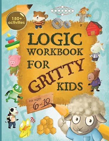
Logic Workbook for Gritty Kids: Spatial reasoning, math puzzles, word games, logic problems, activities, two-player games. (The Gritty Little Lamb ... & STEM skills in kids ages 6, 7, 8, 9, 10.)
£6.99
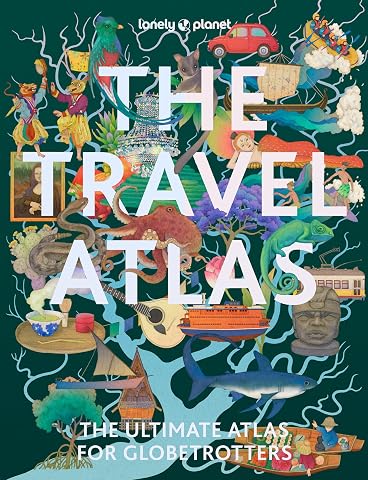
Lonely Planet The Travel Atlas: 205 Comprehensive Maps for Every Country on Earth | Itineraries from 2 Days to 2 Weeks | Trip Planning Tools & Recommended Activities
£23.95
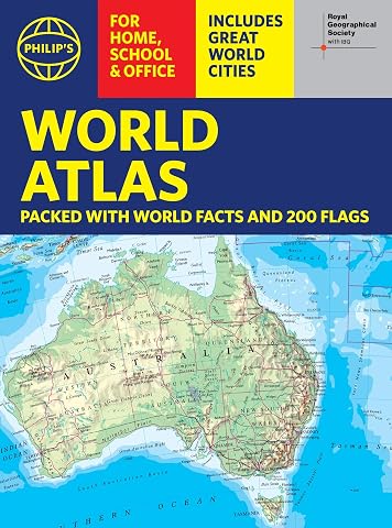
Philip's RGS World Atlas (A4): with Global Cities, Facts and Flags
£6.64
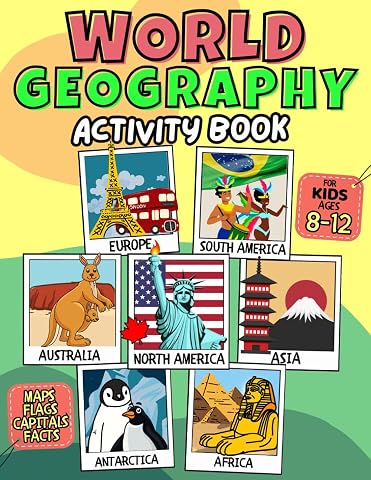
World Geography Activity Book for Kids Ages 8-12: Exploring Countries of the World. Educational Atlas Workbook with Coloring, Facts and Fun Activities.
£8.99
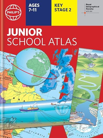
Philip's RGS Junior School Atlas: 12th edition HB (Philip's World Atlas)
£9.49
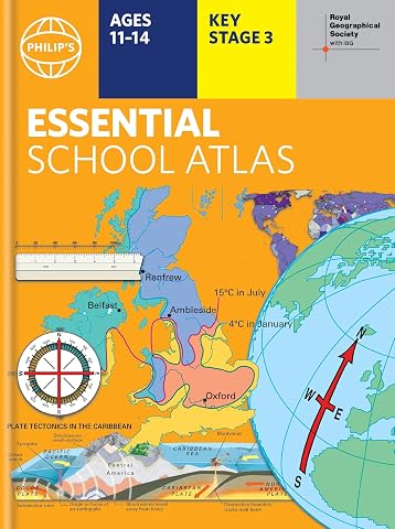
Philip's RGS Essential School Atlas: Hardback edition (Philip's World Atlas)
£10.44
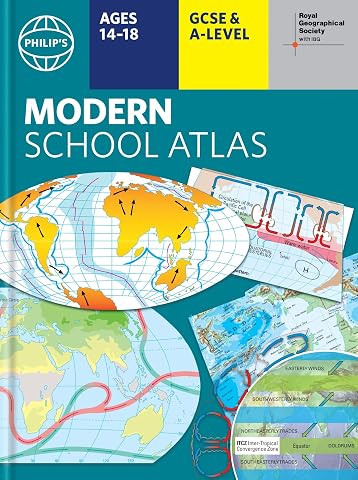
Philip's RGS Modern School Atlas: Hardback 101st edition (Philip's World Atlas)
£11.26
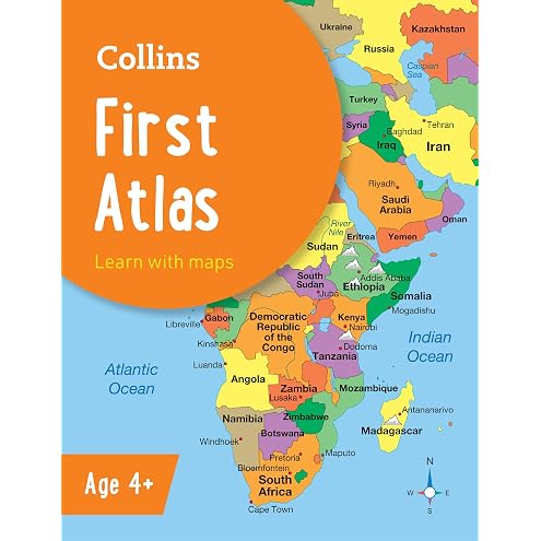
Collins First Atlas: Ideal for learning at school and at home (Collins School Atlases)
£4.84
Oxford First Dictionary: Illustrated dictionary for children age 5+ (Oxford First Dictionaries)
£8.85
Children’s Thesaurus: Illustrated school thesaurus for ages 7+ (Collins Children's Dictionaries)
£11.58
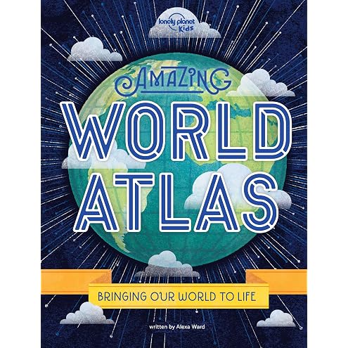
Lonely Planet Kids Amazing World Atlas: 1: Explore Every Country on the Planet | Discover 240 Pages of Illustrated Maps & Infographics | Mind-Blowing Photography & Fun Facts
£12.99
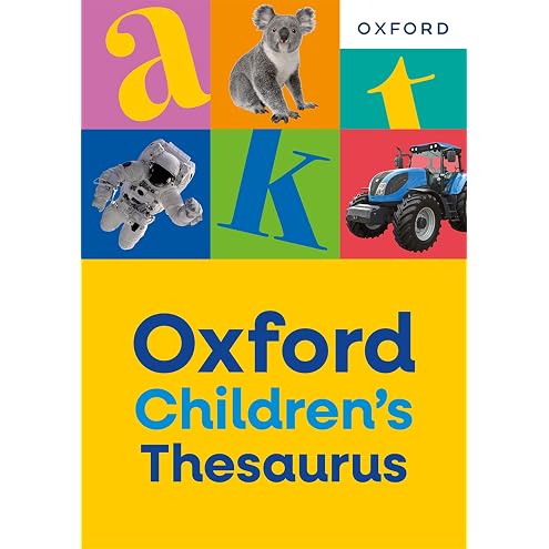
Oxford Children's Thesaurus: Build vocabulary skills for ages 8+ with age-appropriate synonyms (Oxford Children's Dictionaries)
£9.09