 1 / 4
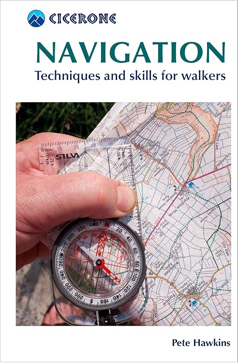
Cicerone Navigation: How to Read Maps and Use a Compass
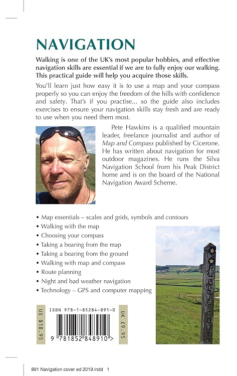
Maps: Cicerone Navigation is a practical guide to map reading and compass skills for walkers. It covers fundamentals such as scales, grids, contours and bearings, with exercises and advice on GPS, route planning and navigation in challenging conditions.
At a glance
- Covers map scales, grids, symbols, contours, compass use, bearings and route planning.
- Includes guidance for navigation at night and in poor weather.
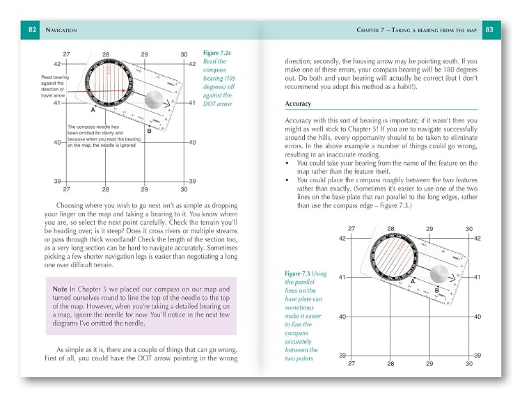
- Illustrative map extracts, diagrams and practical exercises support learning.
- Includes advice on GPS devices and computer mapping as complements to traditional navigation.
- Listing describes a compact format and says it includes a romer plus map-scale, timing and pacing charts.
Reference price: £12.95
Price checked: 12 Nov 2026
View offerAhead of Black FridayExplore the selectionOften bought together
Navigation Skills for Walkers: Map Reading, Compass and GPS | Pathfinder Walking Guide | Ordnance Survey | Walking | Navigation | Map-reading | Adventure: 75 (Pathfinder Guides)
£11.19
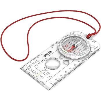
Silva compass navigation - EXPEDITION 4 - Scale 1:25k 1:40k 1:50k mm & inches - Navigation compass for advanced users and rescue professionals - Rotatable compass housing - Compass hiking
£29.99
Pros and cons
Pros
- Covers foundational map-and-compass topics alongside more challenging navigation scenarios.
- Exercises and visual aids offer ways to practise concepts rather than relying only on text.
- Small listed dimensions and weight suit walkers looking for a compact reference.
Technical specifications
9 specifications| Publisher | Cicerone Press |
|---|---|
| Edition | 2nd |
| Publication date | 8 Nov. 2019 |
| Language | English |
| Print length | 152 pages |
| ISBN-10 | 185284891X |
| ISBN-13 | 978-1852848910 |
| Dimensions | 10 x 0.9 x 15.5 cm |
|---|---|
| Weight listed | 100 g |
Who is it for?
A good fit for
- Walkers learning map reading and baseplate compass skills.
- Hikers who want a concise reference for bearings, route planning and navigation in poor weather or at night.
- Readers who want traditional navigation instruction with introductory GPS and computer-mapping context.
Less suited to
- Readers seeking a standalone GPS device, compass or physical map rather than an instructional book.
Customer reviews on Amazon
- 5 stars
73% 73% - 4 stars
21% 21% - 3 stars
4% 4% - 2 stars
2% 2% - 1 star
0% 0%
Customer feedback highlights the guide's usefulness for learning navigation basics, its compact size and clear explanations. Some feedback specifically notes that it makes standard baseplate compass use simpler. For walkers wanting a portable introduction to map-and-compass skills, those impressions align with the book's stated focus and compact listed dimensions. Aggregate ratings are mostly in the higher star categories, but they do not establish how every reader will find the content or its level.
Positive themes
- Customers describe the guide as useful for learning navigation basics and appreciate its compact size.
- Feedback highlights readability, with one customer noting that standard baseplate compass use is explained more simply.
Frequently asked questions
What navigation topics does the book cover?
The listing describes coverage of map scales, grids, symbols, contours, compass use, bearings and route planning, with advanced techniques for night and poor-weather navigation.
Does it include practical learning aids?
The listing says it includes map extracts, diagrams, graphics and practical exercises. It also describes quick-reference material including a romer and map-scale, timing and pacing charts.
Does the guide cover GPS?
Yes. The listing says it includes advice on GPS devices and computer mapping as tools to complement map-and-compass skills.
Alternative options

Prepper's Water Survival Secrets: Cost-Effective Water Collection, Filtration, Purification & Storage Strategies for Your Family to Thrive in Any Crisis
£11.13
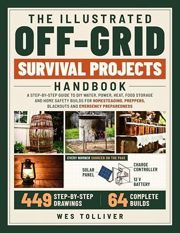
The Illustrated Off-Grid Survival Projects Handbook: A Step-by-Step Guide to DIY Water, Power, Heat, Food Storage & Home Safety Builds for Homesteading, Preppers, Blackouts & Emergency Preparedness
£21.99

The Munros (Hillwalkers' Guides)
£25.57
Stability & Strength Exercises for Seniors: 3 Books in 1: Fall Prevention Balance Training, Chair Exercises for Cardio & Strength, Chair Yoga, 28-Day ... Guides, All Beginner-Friendly (Workout Books)
£20.51
Map and Compass: A comprehensive guide to navigation (Cicerone Mountain Skills Guides)
£12.29

How to Use a Compass for Kids: Fun Outdoor Skills and Activities: Master Orienteering, Camping Tips, Land Navigation, and Reading Maps for Kids and Families
£9.99
The Peak District: White Peak Area Map | Weatherproof | Peak District National Park | Ordnance Survey | OS Explorer Active Map OL 24 | England | Walks | Hiking | Maps | Adventure
£14.99
The Peak District: Dark Peak Area | Weatherproof | Peak District National Park | Ordnance Survey | OS Explorer Active Map OL01 | England | Walks | Hiking | Maps | Adventure
£13.55
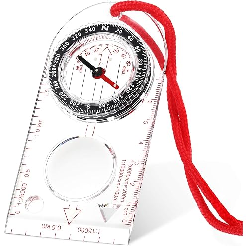
Skylety Navigation Compass Orienteering Compass Hiking with Adjustable | Adjustable Declination for Expedition Map Reading, Navigation, Orienteering and Survival, Baseplate Ruler Magnifier
£6.99
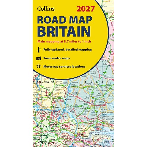
Collins Road Map of Britain 2027 (Folded Map): Clear, easy-to-read mapping (Collins Road Atlas)
£7.51
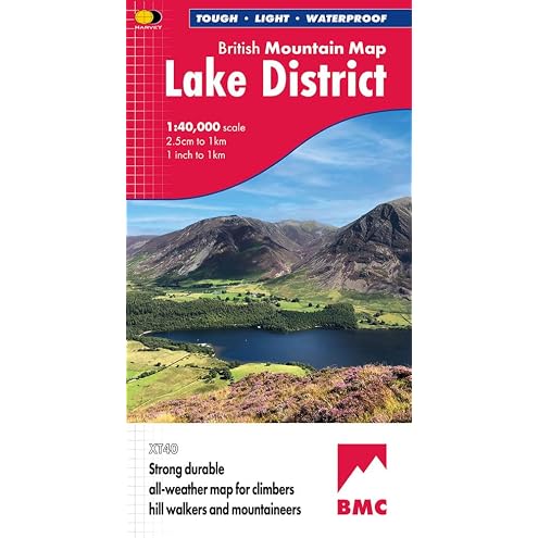
Lake District British Mountain Map XT40
£15.99